 |
|
|
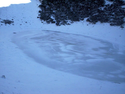
 Lokvanjsko lake Lokvanjsko lake
|
| Max altitude : | 1785 m | |
| Total denivelation : | 700 m | |
| Total distance : | 10000 m | |
| Trekking time : | 3h30 | |
| Landscape beauty : |  | |
| Physical difficulty : | | |
| Orientation marks : | | |
| Mine risk : | - | |
| Orientation map : | 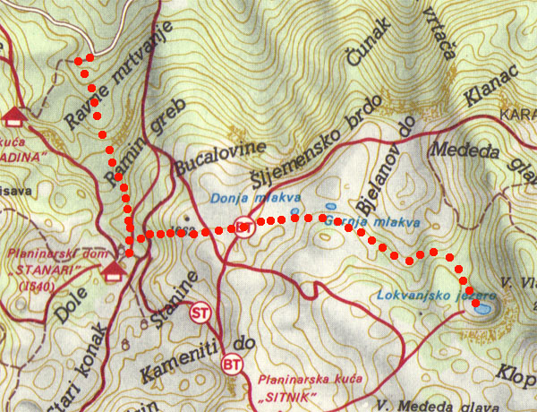 | |
| Denivelation map : | 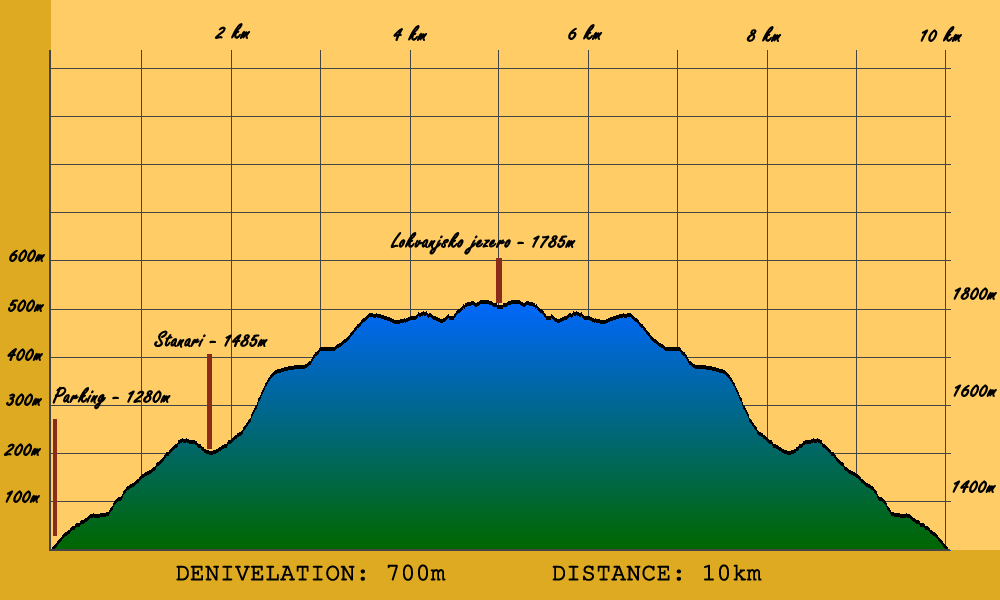 | |
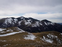
A good trekk to discover the landscape beauty of the Bjelasnica area. At the summit you will access to a lake lost in the mountain. |
 To go at the departure of this hike, you have to go first to a little village called Lokve, passing by Zovik. Zovik is situated after Hadzici when you come from Sarajevo, you will have to make a left turn 4km after Hadzici, the road is difficult to see because not indicated, but 50m meters before the left turn, you will be able to see a bar called Zovik, this is your clue. To go at the departure of this hike, you have to go first to a little village called Lokve, passing by Zovik. Zovik is situated after Hadzici when you come from Sarajevo, you will have to make a left turn 4km after Hadzici, the road is difficult to see because not indicated, but 50m meters before the left turn, you will be able to see a bar called Zovik, this is your clue.
|
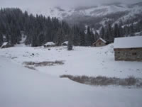
One time you reach Lokve, make a right turn just before the mosque, you have to continue 9 km using a "bad road", you will arrive to a large parking marked "Salihagina Bajta".
|
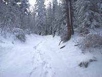
To go until Lokvanjsko jezero, you have to follow the Stanari hut direction, and turn left 100-200m just before to reach it. To go there, you have to pass through a forest, several time you have choice between different way, but the way until Stanari is well indicated.
|
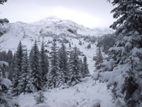
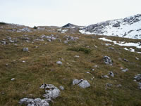
You will arrive above the forest, continue on the path going directly to the stanari hut. 100-200m before to reach Stanari hut, you will find a colored house, turn left, from this point the lake path is well indicated. You will walk 15-20 minutes though a little forest and arrive at a large open grassland.
|
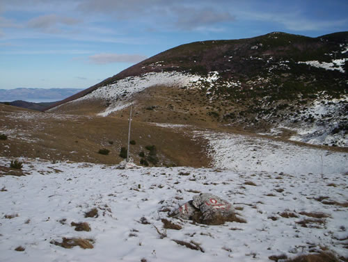
From this point, almost all marks are noted on little rocks in the floor, so very difficult to see if you have more of 10-15cm of snow (in this case, before to take a map to find your way by compas), you should go generally to the east. After 15-20 minutes, you have choice to go left or right, you should go left, you will arrive after 10-15min to a rock with the mark "LJ" and the direction to go.
|
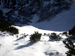
Marks will bring you until a little valley, at the end of this valley (after 15-20 minutes), look carefully to find the marks, it should be in your left, you have to go east again and walk into a pleaant forest of little trees.
|
The lake ! I guess during summer it is more colorfull.
|
|
|
|